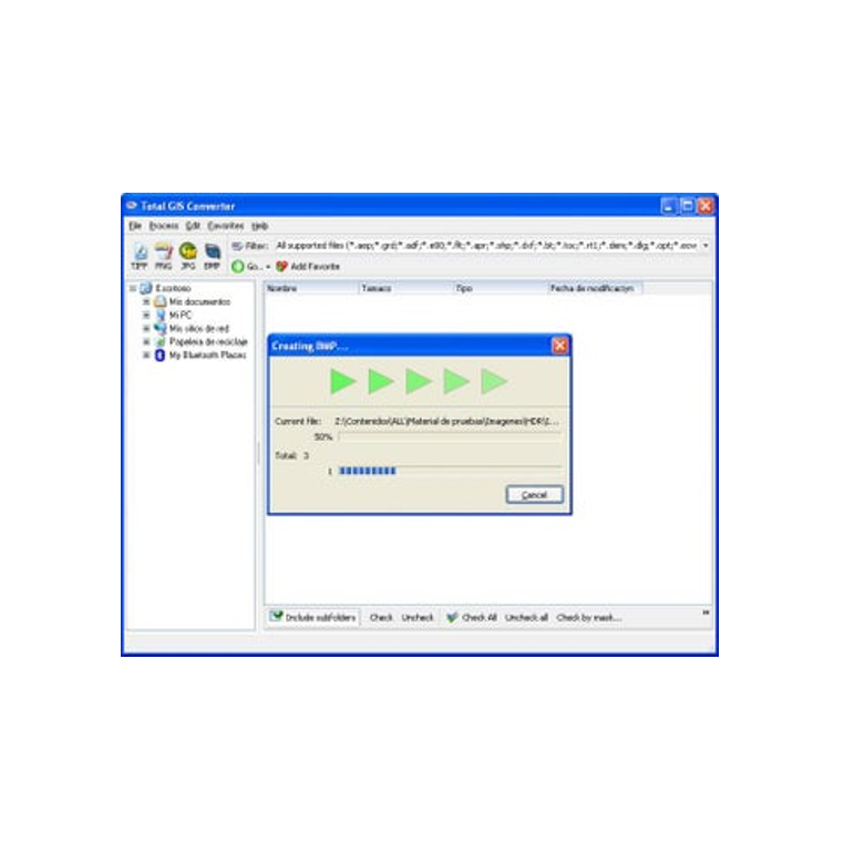
A specialized software tool designed to convert geographic data files format.
System Requirements:
- Operating System: Windows 7, 8, 10, 11
- Processor: Intel/AMD 1 GHz or higher
- RAM: Minimum 2 GB
- Disk Space: At least 100 MB free
- Other: .NET Framework may be required
Developer: CoolUtils

Total GIS Converter
- License: Free
- Version: Latest Update
- Security:
 Safe to Download
Total GIS Converter is a specialized software tool designed to convert geographic data files from one format to another. It’s an essential utility for GIS professionals, surveyors, and geospatial analysts who need to work across various mapping and data systems.
Main Functions
- Convert GIS files (e.g., SHP, KML, GPX, MIF, CSV, DXF) into other formats
- Batch conversion for handling multiple files simultaneously
- Support for map metadata and attribute data retention
- Export to common formats like PDF, XLS, or image formats for reporting
- Command-line interface for automation
- User-friendly interface for drag-and-drop conversion
User Benefits
- Time-Saving: Automates conversion tasks for large datasets
- Cross-Platform Utility: Ensures compatibility between different GIS software
- Data Integrity: Maintains original metadata and coordinates
- Ease of Use: No GIS training needed for basic conversions
- Automation Ready: Useful for larger workflows or scripts


